How to Participate

Participation in The River Mile is very flexible.
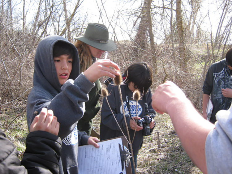
For those already doing FieldSTEM™ and field investigations or resource projects with an agency, the community, or on school property, you don’t have to do anything new, just join us online! Educators who are experienced in using scientific practices, conducting field experiences and investigations, and using outdoor classrooms are encouraged to utilize The River Mile’s essential question (How do relationships among components of an ecosystem affect watershed health?) to tie all of your projects together. Additional resources, training, and networking opportunities are available on this website to expand your projects.
For those that have never done FieldSTEM™, field investigations, or have not taken students outdoors to conduct investigations we recommend participating in teacher training provided through The River Mile and its partners. Sign up for The River Mile newsletters, follow The River Mile on Facebook, and engage in our training, events and Community Gathering opportunities.
New groups will need to find outdoor locations where they can work with the managing agencies to conduct field experiences with their students. First, teachers get to know their site. Also, students need to learn observation skills, scientific methods, and resource practices at school before going to their site. Groups are encouraged to develop field investigations, experiences, and projects of special interest to their group and site. Additional training in project-based learning, field investigations, scientific practices, natural resource field methodology, and integrated learning (e.g., incorporating NGSS and Common Core) as you move into more in-depth experiences.
The goal is to have multiple grade levels working with the same site so during each site visit students learn new skills and science content. Younger students learn observation skills they need when they are working with the more complex investigations in the higher grades.
Data collection and sharing is important. We encourage collecting basic water quality samples (temperature, pH, conductivity, turbidity, and dissolved oxygen if you have a meter) and identifying who uses the site and how (plants, animals, and humans). Then share your data through your ArcGIS Online map(s), reports, newsletter articles, webinar presentations, and other citizen science data sharing projects.
For students to get the most out of their participation it is recommended that you conduct a minimum of 2 site visits per year with your students. These site visits need to be in different seasons as well. To be able to detect changes at your site monthly visits are necessary. You might also choose to participate in The River Mile Crayfish Study.
Click here to learn about the Benefits of Joining.
How do I find and select a site?
If you don’t already have an appropriate site (with water that eventually gets into the Columbia River) begin by identifying several sites that might work. Identify the agencies/organizations that manage these sites, list the pros and cons of each site as an outdoor classroom, and then select a site. Contact the managing agency/organization and discuss what you want to do and obtain permission to use the site.
You can get additional help with the planning process by obtaining the FREE “Designing High Impact Field Experiences” guide from the Pacific Education Institute’s website at www.pacificeducationinstitute.org
Resource Specialists and Informal Educators
Resource managers, agency personnel, and informal educators interested in participating in The River Mile can participate in all training. Training is available to help you work meaningfully with teachers and students in your area. It is very important to understand how you and your agency/organization can support schools in meeting the education standards. There are also many ways you can help: Serve as a Watershed Facilitator for your area, provide additional training, work with the groups in your area on their river mile projects, write articles for the newsletters, and do presentations for the monthly webinars are all great examples.
Projects to Join
The River Mile currently has 4 projects in which groups can participate in collecting and sharing data with everyone in the network (and the world). They are a crayfish study, a plant inventory, an animal inventory, and a water quality monitoring program. Data submission and field collection methods are being continually enhanced. We use several methods for sharing data with the network. All methods feature the ability for everyone to obtain any of the data. Our two main methods are ArcGIS Online and iNaturalist. Which you choose depends on what technology is available for you and your students’ use.
Contacts & Trainers
The River Mile has “Watershed Facilitators” and “STEM Champions” who are points of contact and trainers in local watersheds. You can contact them to get help connecting with other formal and informal educators as well as resource managers and scientists in your local area.

