How to Find Your River Mile Watershed Code
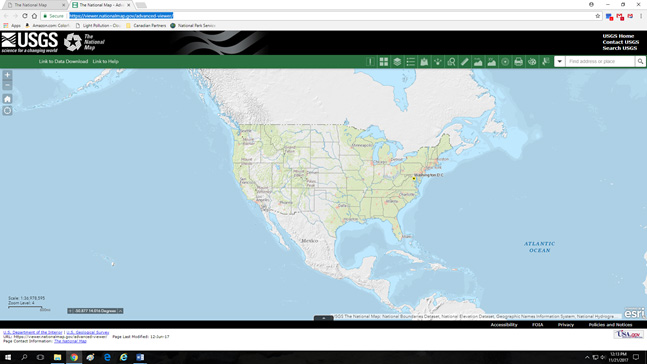
1. To identify your school or site’s Hydrological Unit Code (HUC) designation, navigate to the USGS National Map (https://viewer.nationalmap.gov/advanced-viewer/). This map will allow you to zoom in on your sub-watershed to find your 12-digit HUC.
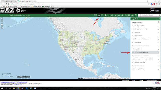
2. Open the “Layers List” and select the “Watershed Boundary Dataset”.
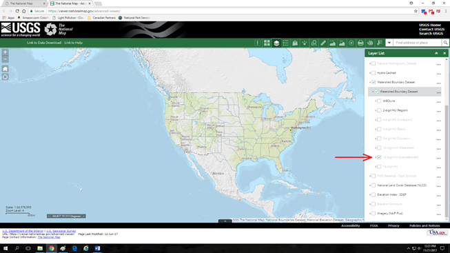
3. Click the gray arrow to the left of the “Watershed Boundary Dataset” checkbox. This will reveal additional subsections of this dataset. Click the gray arrow to the left of the new “Watershed Boundary Dataset” subsection. This will reveal the individual HUC layers.
![]()
4. Select the “12-digit HU (Sub-watershed)”. This layer will remain in gray until you zoom in to your site on the map. As you zoom in, you will notice each layer change from grey to black. Once you reach a certain zoom level on the map, colored outlines will appear. These are the sub-watersheds.
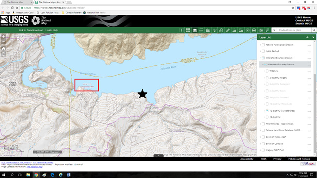
5. Zoom in to your school or site. In this example, I have zoomed into The River Mile’s Spring Canyon office (black star). The purple line shows the boundary of our sub-watershed (Lake Roosevelt). The HUC-12 number can be found within the watershed boundary (highlighted in the red box). Our HUC-12 designation is 170-200011907.